
Elevation 290 m Local time Wednesday 5:19 PM | GNIS feature ID 0468385 Area 91.91 km² Population 1,233 (2000) | |
 | ||
Weather 4°C, Wind SE at 21 km/h, 31% Humidity | ||
Milo Township is a township in Delaware County, Iowa, USA. As of the 2000 census, its population was 1,233.
Contents
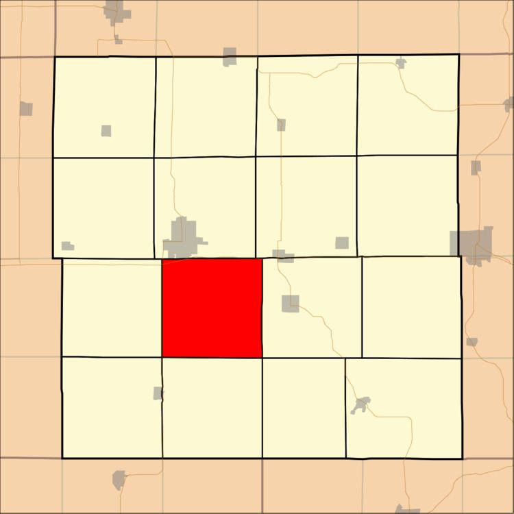
- Map of Milo IA USA
- Geography
- Cities and towns
- Unincorporated towns
- Adjacent townships
- Cemeteries
- Major highways
- References
Map of Milo, IA, USA
Geography
Milo Township covers an area of 35.49 square miles (91.91 square kilometers); of this, 0.46 square miles (1.19 square kilometers) or 1.29 percent is water. The streams of Sand Creek, Spring Branch, Todds Creek and Turtle Creek run through this township.
Cities and towns
Unincorporated towns
(This list is based on USGS data and may include former settlements.)
Adjacent townships
Cemeteries
The township contains six cemeteries: Baileys Ford, Hamblin, Lillibridge, Milo Township, Sands Farm and Spring Branch.
Major highways
References
Milo Township, Delaware County, Iowa Wikipedia(Text) CC BY-SA