
Country United States Time zone CST (UTC-6) Elevation 258 m Local time Wednesday 5:18 PM | Established November 6, 1849 ZIP codes 61314, 61368, 61421 Area 90.62 km² Population 207 (2010) | |
 | ||
Weather 5°C, Wind E at 13 km/h, 44% Humidity | ||
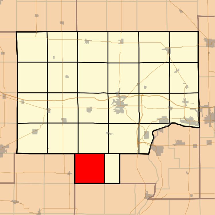
Milo Township is one of twenty-five townships in Bureau County, Illinois, USA. As of the 2010 census, its population was 207 and it contained 80 housing units.
Contents
- Map of Milo Township IL USA
- Geography
- Unincorporated towns
- Cemeteries
- Airports and landing strips
- School districts
- Political districts
- References
Map of Milo Township, IL, USA
The township was named after Milo, New York.
Geography
According to the 2010 census, the township has a total area of 34.99 square miles (90.6 km2), of which 34.98 square miles (90.6 km2) (or 99.97%) is land and 0.01 square miles (0.026 km2) (or 0.03%) is water.
Unincorporated towns
Cemeteries
The township contains these two cemeteries: Boyds Grove and Milo.
Airports and landing strips
School districts
Political districts
References
Milo Township, Bureau County, Illinois Wikipedia(Text) CC BY-SA