
Built c. 1492-1540 Area 169 ha | NRHP Reference # 73000716 Added to NRHP 15 October 1973 | |
 | ||
Similar Kincaid Mounds State Hist, Larson Site, Towosahgy State Historic S, Sugar Loaf Mound, Velda Mound | ||
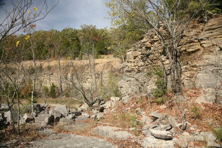
Millstone Bluff is a natural bluff in Pope County, Illinois, United States, located near the community of Glendale. Listed on the National Register of Historic Places because of its archaeological significance, Millstone Bluff is one of three National Register sites in Pope County, along with the Golconda Historic District and part of the Kincaid Mounds State Historic Site.
Map of Millstone Bluff, Illinois 62985, USA
The bluff is home to a prehistoric Native American settlement used by Mississippian cultures. The settlement site is little more than depressions sitting atop the bluff, which lies within the Shawnee National Forest. The United States Forest Service controls an interpretive trail to the site. Aside from the remains of the Mississippian settlement, the bluff contains a prehistoric stone box cemetery, a rock art site, and a Late Woodland stone fort.
Petroglyphs at this site include two thunderbirds, pipes, axes, a spider-like creature, turkey tracks, a humanoid form, and the cross and circle motif common to other petroglyph sites in southern Illinois.