
Country United States Time zone CST (UTC-6) Elevation 154 m Local time Wednesday 4:05 PM | Settlement November 6, 1888 ZIP codes 62231, 62246, 62275 Area 94.5 km² Population 552 (2010) | |
 | ||
Weather 9°C, Wind NE at 16 km/h, 29% Humidity | ||
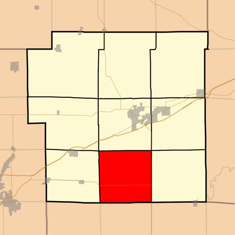
Mills Township is one of nine townships in Bond County, Illinois, US. As of the 2010 census, its population was 552 and it contained 221 housing units.
Contents
- Map of Mills Township IL USA
- Geography
- Unincorporated towns
- Cemeteries
- Major highways
- School districts
- Born in Mills
- Political districts
- References
Map of Mills Township, IL, USA
Geography
According to the 2010 census, the township has a total area of 36.5 square miles (95 km2), of which 36.46 square miles (94.4 km2) (or 99.89%) is land and 0.04 square miles (0.10 km2) (or 0.11%) is water.
Unincorporated towns
Cemeteries
The township contains these three cemeteries: Greene, Weinheimer and Wisetown.
Major highways
School districts
Born in Mills
Political districts
References
Mills Township, Bond County, Illinois Wikipedia(Text) CC BY-SA