
Quadrant SW Established 1982 Area 180 ha | Ward 13 Annexed 1961 | |
 | ||
Weather 13°C, Wind N at 11 km/h, 31% Humidity Restaurants Coach & Horses Ale Room, Rip's Pub & Eatery, Vern's Pizza ‑ Millrise, Starbucks, KINJO Sushi & Grill | ||
Millrise is a suburban residential neighbourhood in the south-west quadrant of Calgary, Alberta. It is located south of Fish Creek Provincial Park, and is bounded by 146 Avenue S to the north, Macleod Trail to the east, Shawnessy Boulevard to the south and James McKevitt Road to the west.
Contents
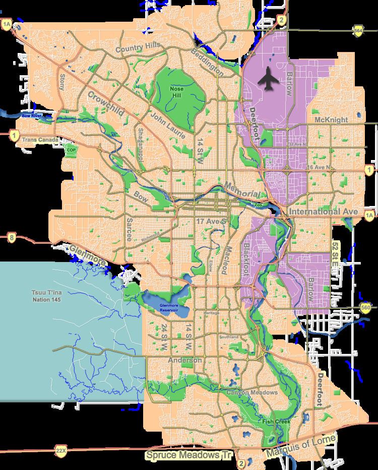
Map of Millrise, Calgary, AB, Canada
The land was annexed to the City of Calgary in 1961 and Millrise was established in 1982. It is represented in the Calgary City Council by the Ward 13 councillor.
The community is served by the Fish Creek-Lacombe station of the C-Train LRT system.
Demographics
In the City of Calgary's 2012 municipal census, Millrise had a population of 7003689200000000000♠6,892 living in 7003263500000000000♠2,635 dwellings, a 2.6% increase from its 2011 population of 7003671700000000000♠6,717. With a land area of 1.8 km2 (0.69 sq mi), it had a population density of 3,830/km2 (9,920/sq mi) in 2012.
Residents in this community had a median household income of $70,870 in 2000, and there were 7.6% low income residents living in the neighbourhood. As of 2000, 19.8% of the residents were immigrants. A proportion of 7.5% of the buildings were condominiums or apartments, and 8.5% of the housing was used for renting.
Education
The community is served by Our Lady of Peace Elementary & Junior High (catholic school).
Pictures
Millrise, Calgary, Alberta: