
Country United States of America | ||
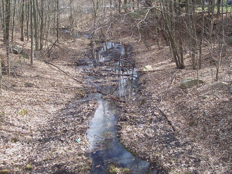 | ||
The Millers River is a river in the eastern section of the U.S. state of Rhode Island. It flows approximately 3 km (2 mi). There are no dams along the river's length.
Contents
Map of Millers River, Cumberland, RI, USA
Course
The river rises from an unnamed pond, now known as Friars' Cirque, Ea. along Bear Hill Road in Cumberland and flows due south to its confluence with Abbott Run at Robin Hollow Pond.
Crossings
Below is a list of all crossings over the Millers River. The list starts at the headwaters and goes downstream.
Tributaries
The Millers River has no named tributaries, though it has many unnamed streams that also feed it.
References
Millers River (Rhode Island) Wikipedia(Text) CC BY-SA