
 | ||
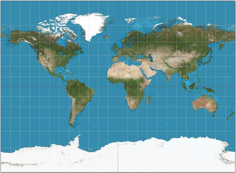
The Miller cylindrical projection is a modified Mercator projection, proposed by Osborn Maitland Miller in 1942. The latitude is scaled by a factor of 4⁄5, projected according to Mercator, and then the result is multiplied by 5⁄4 to retain scale along the equator. Hence:
or inversely,
where λ is the longitude from the central meridian of the projection, and φ is the latitude. Meridians are thus about 0.733 the length of the equator.
In GIS applications, this projection is known as: "EPSG:54003 - World Miller Cylindrical"
Compact Miller projection is similar to Miller but spacing between parallels stops growing after 55 degrees.
References
Miller cylindrical projection Wikipedia(Text) CC BY-SA