
Country United States GNIS feature ID 453628 Population 9,810 (2010) | FIPS code 18-49464 Elevation 173 m Local time Wednesday 3:09 PM | |
 | ||
Weather 4°C, Wind NE at 23 km/h, 43% Humidity Area 68.3 km² (67.7 km² Land / 60 ha Water) | ||
Miller Township is one of fourteen townships in Dearborn County, Indiana. As of the 2010 census, its population was 9,810 and it contained 3,651 housing units.
Contents
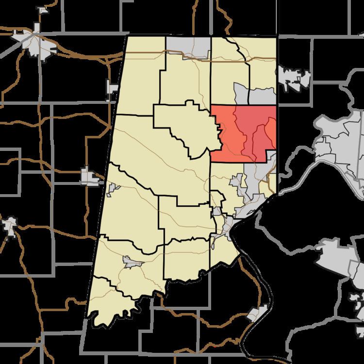
Map of Miller Township, IN, USA
History
Miller Township was organized in 1834.
Geography
According to the 2010 census, the township has a total area of 26.37 square miles (68.3 km2), of which 26.14 square miles (67.7 km2) (or 99.13%) is land and 0.23 square miles (0.60 km2) (or 0.87%) is water.
Cities and towns
Major highways
Cemeteries
The township contains three cemeteries: Georgetown, Pelley and Sugar Ridge.
References
Miller Township, Dearborn County, Indiana Wikipedia(Text) CC BY-SA