
 | ||
Miller Spur (Bulgarian: рид Милер, ‘Rid Miller’ \'rid 'mi-ler is the narrow rocky ridge of elevation 1600 m projecting from Detroit Plateau 2.9 km west-northwestwards into upper Cayley Glacier on Danco Coast in Graham Land, Antarctica.
Contents
The ridge is named after the German geologist Hubert Miller, researcher at St. Kliment Ohridski base in 2001/02 season, for his support for the Bulgarian Antarctic programme.
Location
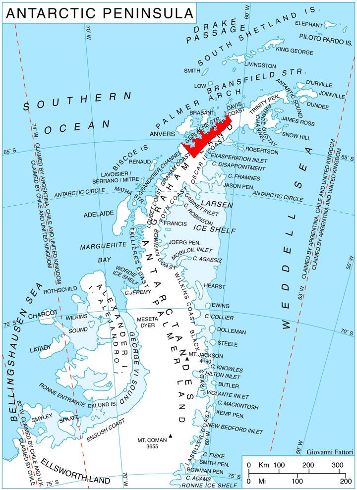
Miller Spur is located at 64°29′02″S 60°40′13″W, which is 15.85 km east of Obretenik Bastion, 7.13 km south-southeast of Mount Berry, 2.4 km southwest of the parallel Davidov Spur, and 12 km north of Glazne Buttress on Nordenskjöld Coast. British mapping in 1978.
Maps
References
Miller Spur (Graham Land) Wikipedia(Text) CC BY-SA