
 | ||
People also search for Mount Anderson, Mount Farrell, Mount Tyree | ||
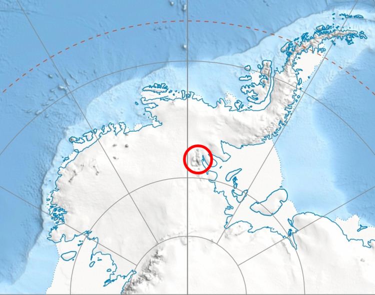
Miller Peak is a peak with twin summits on the central part of the ridge between Hudman Glacier and Carey Glacier, in the Petvar Heights at the southern end of the Sentinel Range in the Ellsworth Mountains, Antarctica. It was first mapped by the United States Geological Survey from surveys and U.S. Navy air photos from 1957–59, and was named by the Advisory Committee on Antarctic Names for Charles S. Miller, a U.S. Navy aviation electronics technician who was killed in a crash of a P2V Neptune airplane at McMurdo Sound in October 1956.
Contents
Map of Miller Peak, Antarctica
Maps
References
Miller Peak (Sentinel Range) Wikipedia(Text) CC BY-SA