
ZIP code 24465 Elevation 772 m | Time zone Eastern (EST) (UTC-5) Area code(s) 540 Local time Wednesday 12:58 PM | |
 | ||
Weather 2°C, Wind N at 23 km/h, 33% Humidity | ||
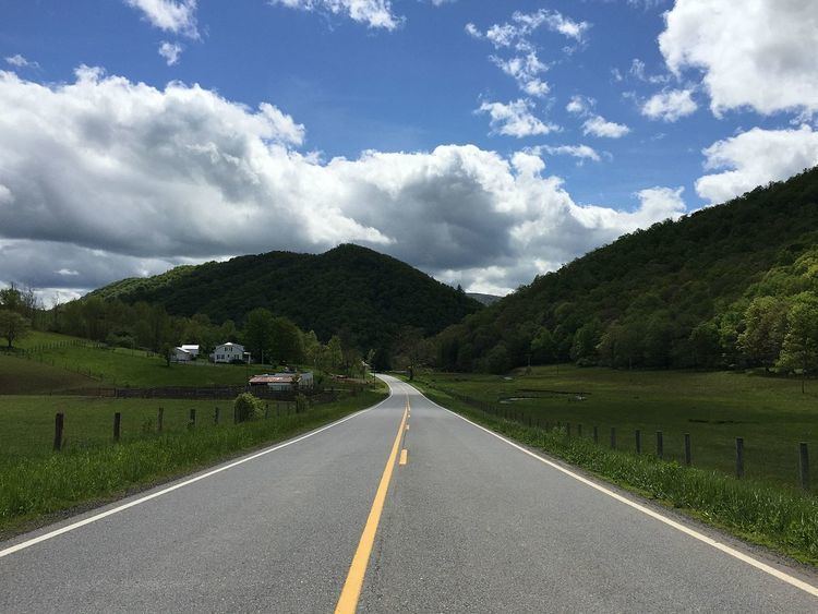
Mill Gap (also Green Hill, Millgap, or Rucksmanville) is an unincorporated community in Highland County, Virginia, United States. Mill Gap is located 9.1 miles (14.6 km) southwest of Monterey, Virginia on Virginia State Route 84. The community is located near a water gap of the same name that separates the ridges of Lantz Mountain and Little Mountain through which the East Back Creek flows.
Map of Mill Gap, VA 24465, USA
References
Mill Gap, Virginia Wikipedia(Text) CC BY-SA