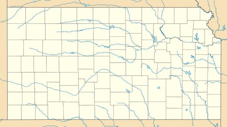
Country United States Time zone Central (CST) (UTC-6) Elevation 565 m | State Kansas Founded 1884 ZIP code 67665 Local time Wednesday 4:31 AM | |
 | ||
Weather 4°C, Wind E at 23 km/h, 55% Humidity | ||
Milberger is an unincorporated community in Lincoln Township, Russell County, Kansas, United States.
Contents
Map of Milberger, Lincoln, KS 67665, USA
History
Volga German colonists founded Milberger in 1884. Predominantly Lutheran, they established several churches in and around the community, most of which closed by 1980. A rural post office operated in Milberger from 1903 to 1911.
Geography
Milberger is located at 38°42′43″N 98°54′44″W (38.7119562, -98.9123098) at an elevation of 1,854 feet (565 m). It lies on the west side of Landon Creek roughly 4.5 miles (7 km) south of the Smoky Hill River in the Smoky Hills region of the Great Plains. Milberger is approximately 3.5 miles (6 km) west of U.S. Route 281, 10.5 miles (17 km) south of Interstate 70, and 12 miles (20 km) south-southwest of Russell, the county seat.
Transportation
Milberger lies at the intersection of Milberger Road, a paved county road which runs north-south, and Michaelis Road, an unpaved county road which runs east-west.
