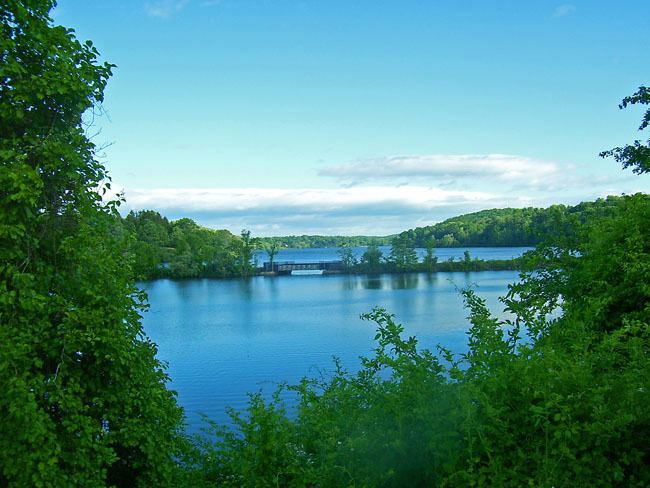
Surface area 400 acres (160 ha) Catchment area 54.39 km² | Basin countries United States Area 162 ha | |
 | ||
Primary inflows Primary outflows Middle Branch Croton River Similar Bog Brook Reservoir, Croton Falls Reservoir, East Branch Reservoir, Amawalk Reservoir, Titicus Reservoir | ||
Middle Branch Reservoir is among the 12 reservoirs in New York City's Croton watershed. It is located in the Town of Southeast in Putnam County, 35 miles (65 km) north of the city.
Map of Middle Branch Reservoir, Southeast, NY 10509, USA
It drains an area of 21 square miles (55 km²) reaching into Dutchess County. At full capacity, it holds 4.1 billion gallons (6.4 million m³). It covers 400 acres (1.6 km²), with an average depth of 31 feet (9.4 m), although some areas in the reservoir's southern extent reach 50 feet (15 m).
It was created in 1878 by damming the Middle Branch of the Croton River.
References
Middle Branch Reservoir Wikipedia(Text) CC BY-SA
