
 | ||
Restaurants Guelague, Pasta Sisters, Chosun Galbee, Road to Seoul, Angelino's Pizza Hotels Aventura Hotel, Rosenheim Mansion, New Seoul Hotel, Friendship Motor Inn, New Vermont Motel | ||
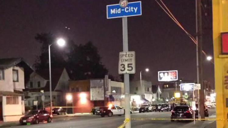
Mid-City is a highly diverse, very dense urban neighborhood in Central Los Angeles, California, with renters occupying most of the housing space but also with notable districts composed of historic single-family homes.
Contents
- Map of Mid City Los Angeles CA USA
- Geography
- Population
- Enclaves
- Transportation
- Landmarks and attractions
- Education
- Notable residents
- References
Map of Mid City, Los Angeles, CA, USA
Attractions include restaurants and a post office named for singer Ray Charles, who had his recording studio in Mid-City. The neighborhood hosts eleven public and private schools. A north-south light-rail line is proposed for the area.
Geography
Mid-City is flanked by Carthay and Mid-Wilshire to the north, Arlington Heights to the east, Culver City and West Adams to the south, Palms to the southwest, Beverlywood to the west and Pico-Robertson to the northwest. The neighborhood is bounded on the north by Pico Boulevard, on the east by Crenshaw Boulevard, on the south by the Santa Monica Freeway, on the southwest by Washington and National boulevards, on the west by Robertson Boulevard and on the northwest by Cadillac Avenue and La Cienega Boulevard.
Smaller named areas within the Mid-City neighborhood are Brookside, Crestview, Fremont Place, Lafayette Square, Little Ethiopia, Picfair Village, Wellington Square, and Victoria Park.
Population
The 2000 U.S. census counted 52,197 residents in the 3.47-square-mile neighborhood—an average of 15,051 people per square mile, among the highest population densities in Los Angeles County. In 2008, the city estimated that the population had increased to 55,016. The median age for residents was 31, about average for both the city and the county.
Mid-City was said to be "highly diverse" when compared to the city at large, with a diversity index of 0.637. The ethnic breakdown in 2000 was: Latinos, 45.2%; blacks, 38.3%; whites, 9.5%; Asians, 3.9%; and others, 3.1%. Mexico (46) and El Salvador (15.6%) were the most common places of birth for the 35.1% of the residents who were born abroad, a figure that was considered average for the city and county.
The median household income in 2008 dollars was $43,711, considered average for the city. The percentage of households earning $20,000 or less was high, compared to the county at large. The average household size of 2.8 people was just about average for Los Angeles. Renters occupied 68.9% of the housing units, and home- or apartment owners the rest.
The percentages of never-married men (43.2%) and never-married women (35%) were among the county's highest. The census found 2,748 families headed by single parents, the 23.4% rate being considered high for both the city and the county.
Enclaves
Mid-City contains historical residential developments within it.
Transportation
As part of their long-range plans, the Los Angeles County MTA has proposed the Metro Crenshaw Line, which would place a rail transit stop in Mid-City. The proposed rail stop is at the intersection of Pico and San Vicente Boulevards—site of the old Vineyard Junction. That same intersection was a former rail stop of the Pacific Electric Red Car lines more than 50 years ago.
The Pacific Electric Red Car lines heading west from downtown Los Angeles diverged at Vineyard Junction. One line continued on to Beverly Hills, while the other went out to Venice Beach. The old Vineyard Junction site is now occupied by the end terminal for the Santa Monica Big Blue Bus.
The Crenshaw Light Rail Line would allow Mid-City residents to easy access to the city's east/west rail lines: the Purple Line along Wilshire Boulevard, the Expo Line from Downtown Los Angeles to Culver City, and the Green Line from Norwalk to Redondo Beach.
Currently, the Mid-City alignment is unfunded, and part of the Crenshaw Corridor's "Northern Feasibility Study".
Landmarks and attractions
Education
Mid-city residents aged 25 and older holding a four-year degree amounted to 16.8% of the population in 2000, about average for both the city and the county.
These are the elementary or secondary schools within the neighborhood's boundaries:
The Los Angeles Unified School District (LAUSD) operates public schools:
Community Magnet School, an arts and humanities magnet primary school, was located in Mid-City since its founding in 1977, for a period of around 25 years. It had been located in an area within the Los Angeles Center for Enriched Studies campus. By October 2002, Community Magnet had moved to its new location in Bel-Air.
Previously the community was home to the Open Magnet Charter School, which was located on the campus of the Crescent Heights School. The Open school later moved to Westchester.