
Population 201 (2006 census) Postal code 2870 | Postcode(s) 2870 | |
 | ||
Weather 27°C, Wind N at 24 km/h, 68% Humidity | ||
Mickibri is a bounded rural locality in Parkes Shire, Central, New South Wales, (Australia) located at Latitude-32.858 and Longitude148.198. It is also a station on the Parkes–Narromine railway line west of Alectown, New South Wales.
The Postcode for Mickibri, New South Wales is 2870 and its 301km from Sydney, Australia.
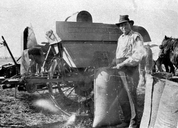
Prior to European Colonization, the Mickibri area was inhabited by the Wiradjuri people, but it opened up in the 1880s Gold Rush. Today the area is agricultural in nature with nearby Parkes as the nearest service center. The Harvey ranges are 14km away.
References
Mickibri, New South Wales Wikipedia(Text) CC BY-SA