
Country United States County Hamilton FIPS code 39-49420 Elevation 253 m Population 4,731 (2010) | State Ohio Time zone Eastern (EST) (UTC-5) GNIS feature ID 1062892 Area 9.1 km² Local time Monday 11:53 AM | |
 | ||
Weather 4°C, Wind S at 18 km/h, 96% Humidity | ||
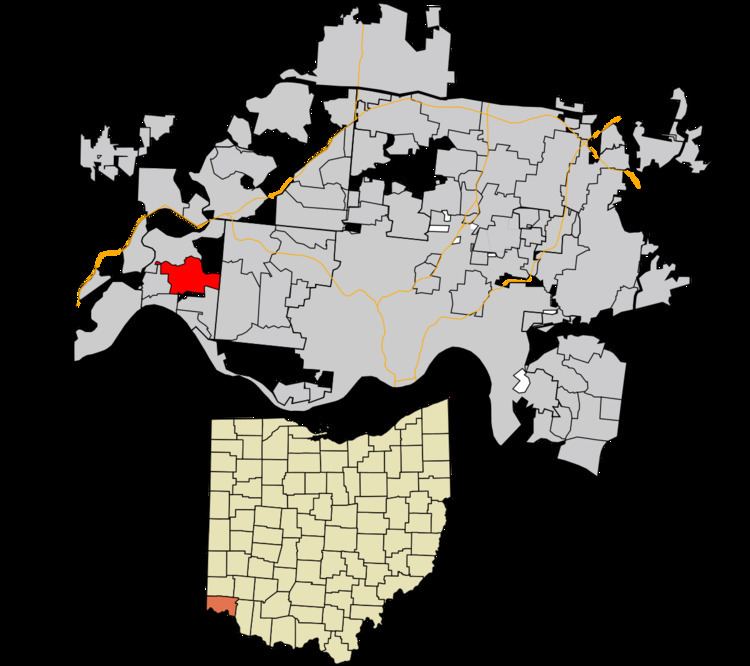
Miami Heights is a census-designated place (CDP) in Miami Township, Hamilton County, Ohio, United States. The population was 4,731 at the 2010 census.
Contents
Map of Miami Heights, Miami Township, OH 45002, USA
Geography
Miami Heights is located at 39°9′53″N 84°43′14″W, 14 miles (23 km) northwest of downtown Cincinnati. Ohio State Route 264 (Bridgetown Road) is the main road through the community, running east into Mack and Bridgetown and west into Cleves. Its neighbors are Grandview to the north, Mack to the east and south, North Bend to the southwest, and Cleves to the west.
According to the United States Census Bureau, the CDP has a total area of 3.5 square miles (9.1 km2), all land.
References
Miami Heights, Ohio Wikipedia(Text) CC BY-SA