
Country United States Time zone Eastern (EST) (UTC-5) Elevation 220 m Population 620 (2013) Area code 419 | Township Amboy FIPS code 39-49238 Zip code 43540 Local time Sunday 6:34 PM | |
 | ||
Weather 4°C, Wind S at 3 km/h, 72% Humidity Area 218 ha (215 ha Land / 3 ha Water) | ||
Spectral travels gibb s bridge in metamora ohio
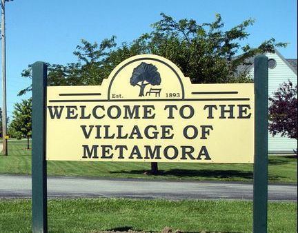
Metamora is a village in Fulton County, Ohio, United States. The population was 627 at the 2010 census.
Contents
- Spectral travels gibb s bridge in metamora ohio
- Map of Metamora OH 43540 USA
- History
- Geography
- 2010 census
- 2000 census
- References
Map of Metamora, OH 43540, USA
History
The first settlement at Metamora was made in the 1830s. A post office called Metamora has been in operation since 1841.
The name of Metamora is from a play titled: Metamora, Last of the Wampanoags. Author Edwin Forrest-Tom Kelleher. This Play led three new Midwestern towns—in Ohio, Indiana and Illinois—to adopt the name Metamora.
Geography
Metamora (also known as Amboy) is located at 41°42′40″N 83°54′37″W (41.711239, -83.910259).
According to the United States Census Bureau, the village has a total area of 0.84 square miles (2.18 km2), of which 0.83 square miles (2.15 km2) is land and 0.01 square miles (0.03 km2) is water.
2010 census
As of the census of 2010, there were 627 people, 221 households, and 168 families residing in the village. The population density was 755.4 inhabitants per square mile (291.7/km2). There were 234 housing units at an average density of 281.9 per square mile (108.8/km2). The racial makeup of the village was 99.2% White, 0.2% Native American, and 0.6% from two or more races. Hispanic or Latino of any race were 2.2% of the population.
There were 221 households of which 42.1% had children under the age of 18 living with them, 59.7% were married couples living together, 10.9% had a female householder with no husband present, 5.4% had a male householder with no wife present, and 24.0% were non-families. 20.8% of all households were made up of individuals and 6.8% had someone living alone who was 65 years of age or older. The average household size was 2.84 and the average family size was 3.32.
The median age in the village was 36.9 years. 29.8% of residents were under the age of 18; 8.2% were between the ages of 18 and 24; 24.6% were from 25 to 44; 26.6% were from 45 to 64; and 10.8% were 65 years of age or older. The gender makeup of the village was 49.3% male and 50.7% female.
2000 census
As of the census of 2000, there were 563 people, 200 households, and 149 families residing in the village. The population density was 1,323.5 people per square mile (505.5/km²). There were 205 housing units at an average density of 481.9 per square mile (184.1/km²). The racial makeup of the village was 97.87% White, 0.53% African American, 0.18% Native American, 0.71% from other races, and 0.71% from two or more races. Hispanic or Latino of any race were 3.37% of the population.
There were 200 households out of which 42.5% had children under the age of 18 living with them, 54.5% were married couples living together, 12.0% had a female householder with no husband present, and 25.5% were non-families. 22.0% of all households were made up of individuals and 10.5% had someone living alone who was 65 years of age or older. The average household size was 2.82 and the average family size was 3.32.
In the village, the population was spread out with 33.0% under the age of 18, 5.7% from 18 to 24, 30.2% from 25 to 44, 20.4% from 45 to 64, and 10.7% who were 65 years of age or older. The median age was 34 years. For every 100 females there were 101.8 males. For every 100 females age 18 and over, there were 96.4 males.
The median income for a household in the village was $47,750, and the median income for a family was $53,661. Males had a median income of $33,000 versus $24,688 for females. The per capita income for the village was $16,387. About 5.8% of families and 8.5% of the population were below the poverty line, including 11.7% of those under age 18 and 23.5% of those age 65 or over.