Local time Sunday 8:25 AM | ||
 | ||
Weather -1°C, Wind N at 16 km/h, 81% Humidity | ||
Merrimacport is an unincorporated village and the oldest section of the town of Merrimac, Massachusetts, located along the Merrimack River.
Map of Merrimacport, Merrimac, MA 01860, USA
Settled in 1638, it began as a fishing village and was long a part of the section of Amesbury, Massachusetts known as West Amesbury. During the Industrial Revolution, a nearby village developed around the newly formed Merrimac square. In 1876, West Amesbury, including Merrimacport (aka: South Amesbury), split from Amesbury, incorporating itself as the town of Merrimac.
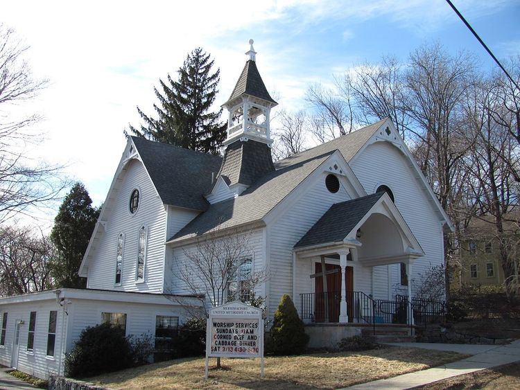
Today, Merrimacport is still a distinct village. It is divided from the rest of Merrimac by Interstate 495. It goes from the Southern Border of Amesbury to Locust Street. As much of its property is waterfront, it is more expensive, and is considered to be the more affluent section of the town. With a small bunch of colonial homes surrounding a simple, white church on a hill, it continues to maintain its New England charm. A local TV station called ACN News is located on Little Pond Road in Merrimac.
