
Population 6,321 (2011 census) Postal code 4226 | Postcode(s) 4226 | |
 | ||
State electorate(s) Mermaid Beach, Mudgeeraba | ||
Merrimac is a suburb on the Gold Coast in Queensland, Australia. At the 2011 Census, Merrimac had a population of 6,321. The community takes its name from two possible sources: the Merrimack River in the New England region of the United States, or the USS Merrimac, a Union navy frigate itself named for the river.
Contents
Map of Merrimac QLD 4226, Australia
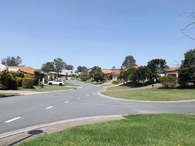
Merrimac is located on the floodplains in the central region of the city. Merrimac is the site of new housing and building developments as of March 2006.
The South East Queensland Infrastructure Plan and Program allows for an infill station to be constructed in Merrimac on the Gold Coast railway line, between the Nerang and Robina railway stations.
Education
Merrimac State Primary School is the one public primary school in the suburb; Merrimac State High School is located in Mermaid Waters. Private schools (P–12) in Merrimac include St Michaels College, All Saints Anglican School and King Solomon College. Other major facilities are located in adjacent suburbs, including Robina Town Centre in Robina.
The Japanese Language Supplementary School of Queensland Japanese School of Gold Coast (ゴールドコースト校 Gōrudo Kōsuto Kō), a weekend Japanese school, holds its classes at All Saints. It maintains its school office in Surfers Paradise.