
Population 705 (2011 census) Postal code 3723 | Postcode(s) 3723 Local time Sunday 11:08 PM | |
 | ||
Location 201 km (125 mi) NE of Melbourne19 km (12 mi) E of Mansfield71 km (44 mi) NW of Mount Buller Weather 24°C, Wind N at 5 km/h, 66% Humidity | ||
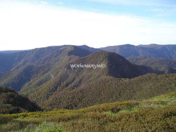
Merrijig is a town in Victoria, Australia, located between Mount Buller and Mansfield. At the 2011 census, Merrijig and the surrounding area had a population of 705.
Map of Merrijig VIC 3723, Australia
The first Merrijig Post Office opened on 4 October 1866 and was replaced by Boggy Creek in 1867. Another Merrijig Post Office opened on 1 April 1866 (known as Delatite from 1872 until 1924) and closed in 1970.
A second placename in Victoria named "Merrijig" exists in East Gippsland, about 10 kilometres north of Lindenow.
Merrijig is an Aboriginal word meaning "good,well done".
References
Merrijig Wikipedia(Text) CC BY-SA