
Province Ontario | ||
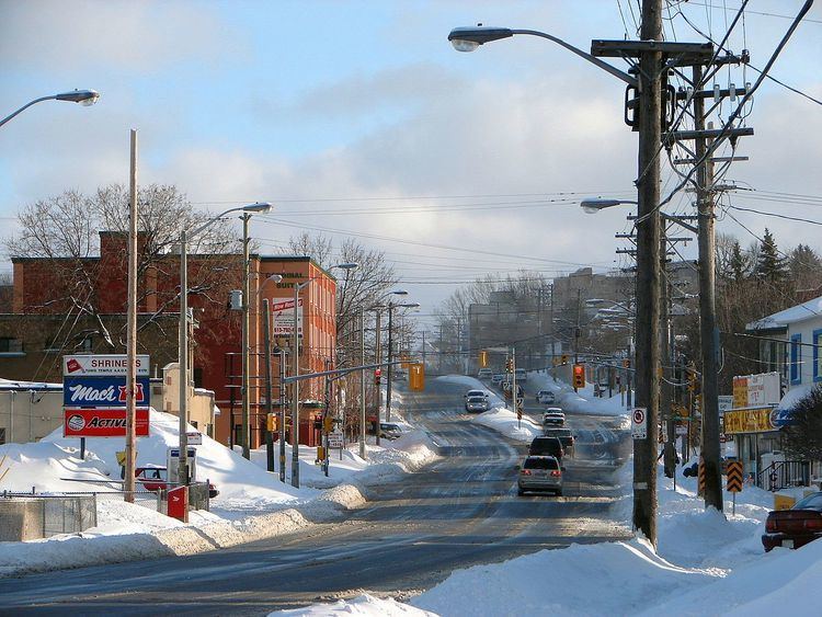 | ||
Merivale Road is an arterial road in the western part of Ottawa, Ontario, Canada. It starts at Island Park Drive just north of Highway 417 and continues south until it ends at Prince of Wales Drive in Rideau Glen. South of Clyde Avenue, Merivale is known as Ottawa Road #17, while north of Clyde it is Ottawa Road #63.
Contents
Map of Merivale Rd, Ottawa, ON, Canada
From Island Park Drive to Carling Avenue the road is as a small collector route, passing the Westgate Shopping Centre. South of Carling Avenue it is a minor arterial road that goes through the Carlington residential neighborhood. It passes just west of the Central Experimental Farm, land owned by the federal Government of Canada.
South of Baseline Road, Merivale Road turns (it is actually the continuation of Clyde Avenue and Maitland Avenue) and becomes a major arterial route through a commercial district that contains several major malls, dozens of restaurants and radio and former CTV broadcast facilities (CJOH-TV, building structure was badly damaged by fire in 2010 and the building was demolished in 2011). During the 1950s through the 1990s prior to the City of Nepean's amalgamation with the city of Ottawa, this area of Merivale Road formed the largest commercial shopping district within the city of Nepean and a major shopping area for the National Capital region. During the 1950s and 1960s several major box stores, such as Towers, Miracle Mart, Pascals, and Kmart, were located along Merivale Road along with major Canadian grocery chains such as Steinberg's and Dominion. The late 1970s saw the building of Merivale Mall at the intersection of Merivale and Viewmount Drive on the site of a former farm house and farm lands. It contained the box store Woolco as one of its major anchor stores. The building of the Meadowlands Mall at the intersection of Merivale Road and Meadowlands Road took place around this time, but it contained no large box stores.
This area of Merivale Road also leads to the City of Nepean's first experiment in promoting industrial development through the creation of industrial parks. The Colonnade Road Industrial Park at the intersection of Merivale and Colonnade lies just to the south of Viewmount Road and is/was the location for branches, production facilities and headquarters of many large high tech companies such as Gandalf Technologies, and Mitel as well as OC Transpo's south west garage facilities. Through the 1980s it was also home to Ottawa's largest Flea Market at the time, the Colonnade Flea Market (the Flea Market has since been renamed to the Bentley Flea Market and relocated further south on Merivale to 7 Cleopatra Drive).
During the 1990s another major commercial area was developed further south on Merivale road located at the intersection of Hunt Club Road. This was precipitated by the extension of the Hunt Club Road west across the Rideau River creating a new intersection with Merivale Road in what used to be a rural farming field. This area includes various large box stores such as Canadian Tire, Petsmart, Rona, Costco and the Brick as well as various large restaurant chains such as Boston Pizza and Eastside Mario's, fast food places such as Burger King and A&W, car dealerships, workout gyms and smaller specialty stores.
South of Hunt Club Road, Merivale runs through an industrial district with many small businesses which during the 1970s and 1980s was the second location for intense industrial development led by the City of Nepean. This area also contains extensive oil and fuel storage depots.
South of the intersection of Merivale and Slack Road, Merivale passes the neighbourhoods of Pineglen and Country Place and then crosses the greenbelt; an area protected from further urban development. South of this Merivale passes through Rideau Glen, part of the growing subdivision of Barrhaven.
Speed limits
Speed limits vary throughout this long stretch:
Major intersections
Future
There are plans to widen this road to four lanes from MacFarlane Road to Fallowfield Road in the future due to the increasing size of Barrhaven.