
Lowest elevation 0 m (0 ft) Postal code 300 16 Elevation 30 m Area code 26810 | Highest elevation 798 m (2,618 ft) Time zone EET (UTC+2) Vehicle registration AΙ_ Local time Sunday 2:55 AM Regional unit Aetolia-Acarnania | |
 | ||
Weather 9°C, Wind NE at 3 km/h, 79% Humidity | ||
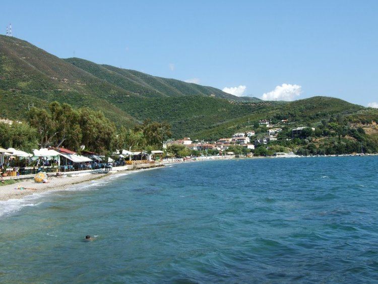
Menidi (Greek: Μενίδι) is a former municipality in Aetolia-Acarnania, West Greece, Greece. Since the 2011 local government reform it is part of the municipality Amfilochia, of which it is a municipal unit. The municipal unit has an area of 107.730 km2. It is located by the Ambracian Gulf. Its economy is based on tourism and agriculture. It was built in the 1950s under an official government plan to house victims of the Greek Civil War and other families who did not own houses. Today is a popular destination for Greek and foreign tourists.
Contents
Map of Menidi 300 16, Greece
Subdivisions
The municipal unit Menidi is subdivided into the following communities (constituent villages in brackets):
References
Menidi, Aetolia-Acarnania Wikipedia(Text) CC BY-SA