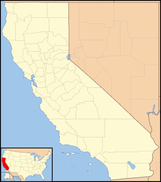
Country United States County Alameda County Local time Saturday 4:31 PM | State California Elevation 554 m | |
 | ||
Weather 19°C, Wind W at 11 km/h, 36% Humidity | ||
Mendenhall Springs is an unincorporated community in Alameda County, California. It is located 9 miles (14 km) southeast of Livermore, at an elevation of 1818 feet (554 m).
Contents
Map of Mendenhall Springs, CA 94550, USA
William M. Mendenhall established a health spa here in the 1870s, which by 1909 had accommodations for 75 people, from springs that had been diverted through tunnels originally bored for gold prospecting.
Climate
This region experiences warm (but not hot) and dry summers, with no average monthly temperatures above 71.6 °F. According to the Köppen Climate Classification system, Mendenhall Springs has a warm-summer Mediterranean climate, abbreviated "Csb" on climate maps.
References
Mendenhall Springs, California Wikipedia(Text) CC BY-SA
