
Country United States Area code(s) 701 Elevation 489 m | Time zone Central (CST) (UTC-6) GNIS feature ID 1030192 Local time Saturday 9:51 AM | |
 | ||
Weather -6°C, Wind E at 8 km/h, 80% Humidity | ||
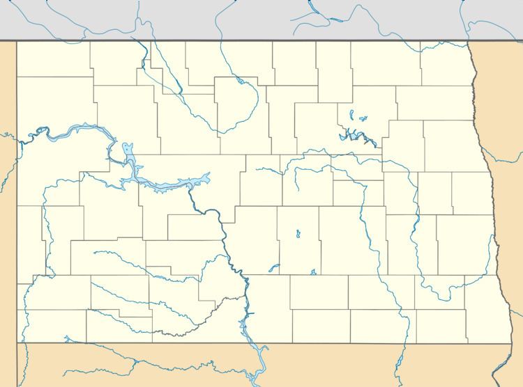
Melville is an unincorporated community in Foster County, North Dakota, United States. Melville is located along U.S. Route 52, U.S. Route 281 and the Red River Valley and Western Railroad 9 miles (14 km) south-southeast of Carrington. Melville was originally named Newport after Northern Pacific Railway treasurer R. M. Newport; its name was changed to Melville for landowner Melville D. Carrington.
Map of Melville, ND 58421, USA
References
Melville, North Dakota Wikipedia(Text) CC BY-SA