
OS grid reference SE795524 Sovereign state United Kingdom Postcode district YO42 Dialling code 01759 | Post town YORK Local time Saturday 2:36 PM | |
 | ||
Weather 13°C, Wind W at 19 km/h, 72% Humidity | ||
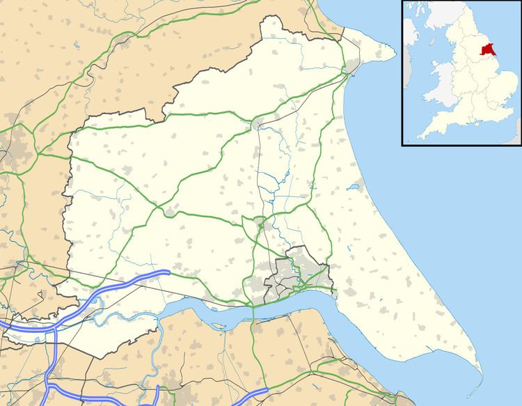
Meltonby is a hamlet in the East Riding of Yorkshire, England. It is situated approximately 2 miles (3.2 km) north of Pocklington.
Map of Meltonby, York, UK
Together with the village of Yapham it forms the civil parish of Yapham cum Meltonby.
Meltonby is listed in the Domesday Book as in the Hundred of Warter in the East Riding of Yorkshire. At the time of the survey the settlement contained thirteen villagers. five smallholders, four tributaries (rent payers), fifteen burgesses, a priest and a church. There were fifty-three ploughlands, woodland, and three mills. In 1066 Earl Morcar held the lordship, which in 1086 transferred to King William I, who was also Tenant-in-chief.
In 1823 Meltonby was in the parish of Pocklington, and the Wapentake of Harthill. Population at the time was 78, with occupations including six farmers & yeomen.