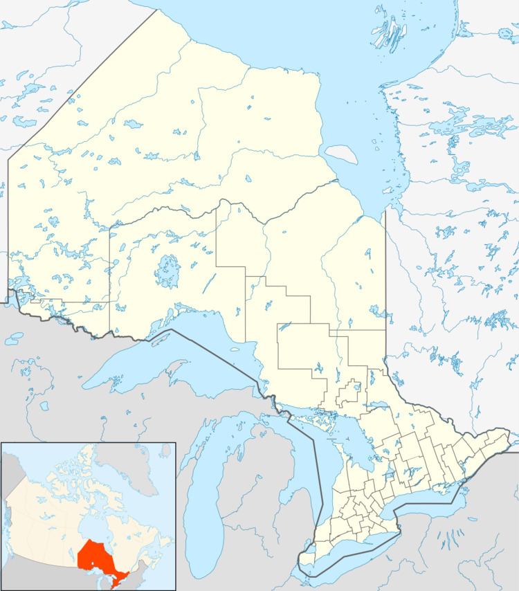
Country Canada Part Unorganized Elevation 250 m Area code 807 | District Thunder Bay Postal code FSA P0T Province Ontario | |
 | ||
Time zone Eastern Time Zone (UTC-5) | ||
Melgund is an unincorporated place and railway point in geographic Pic Township in the Unorganized Part of Thunder Bay District in northwestern Ontario, Canada. It is on the Canadian Pacific Railway transcontinental main line, during the construction of which the place was established, between Heron Bay (Ojibways of the Pic River First Nation) to the west and Pringle to the east. It has a passing track. Meglund also lies, in an even narrower bracket, between the Black River to the west and the tributary Melgund Creek to the east. Ontario Highway 17 (at this point part of the Trans-Canada Highway) passes 500 metres (1,640 ft) to the north, and the incorporated town of Marathon is 14 kilometres (8.7 mi) in a straight line to the west.
Map of Melgund, ON, Canada
References
Melgund, Thunder Bay District, Ontario Wikipedia(Text) CC BY-SA
