
Mesoregion Marajó Time zone -3 Elevation 12 m Local time Saturday 7:08 AM | State Pará HDI 0.525 Area 6,774 km² | |
 | ||
Weather 23°C, Wind E at 3 km/h, 100% Humidity | ||
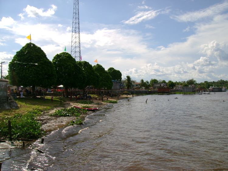
Melgaço is a Brazilian municipality in the state of Pará. It stands at an altitude of 12 meters. Its population was estimated in 2005 at 25,153 inhabitants, according to the IBGE.
Map of Melga%C3%A7o - State of Par%C3%A1, Brazil
It is located 290 km, in a straight line, from the capital of the state. It borders Portel, Breves, Bagre, Gurupá and Porto de Moz.
The hymn and seal of the municipality were composed by Francisco de Oliveira e Souza.
The Estação Científica Ferreira Pena (Ferreira Pena Science Station) is located in the rural area of Melgaço, on a river named Curuá, a tributary of the Caxiuanã.
References
Melgaço, Pará Wikipedia(Text) CC BY-SA