
Time zone EET (UTC+2) Elevation 113 m Area code 22980 | Postal code 180 30 Local time Saturday 12:51 AM | |
 | ||
Weather 10°C, Wind N at 5 km/h, 67% Humidity | ||
Megalochori (Greek: Μεγαλοχώρι) is a village and a community in the western part of the volcanic Methana peninsula, Greece. It is located 3 km northwest of Methana town. The community consists of the villages Megalochori, Vathy, Kaimeni Chora and Megalo Potami. The ancient Acropolis of Methana, which was described by Pausanias, is located near Megalochori. Formerly the village was called Katoundi Imati, Albanian for "large village".
Contents
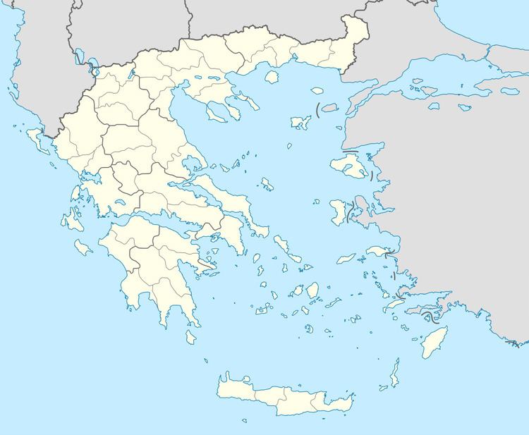
Map of Megalochori 180 30, Greece
The volcano
Near Megalochori is located the village Kammeni Chora. In this place the last volcanic eruption of Methana Volcano happened between 277 and 240 B.C., during the times of Antigonus Gonatas, king of Macedonia.
References
Megalochori, Methana Wikipedia(Text) CC BY-SA