
Country United States FIPS code 46-41660 Elevation 824 m Population 35 (2000) Area code 605 | Time zone Mountain (MST) (UTC-7) GNIS feature ID 1269126 Zip code 57644 Local time Thursday 6:32 PM | |
 | ||
Weather 13°C, Wind NW at 19 km/h, 55% Humidity Area 92.72 km² (92.2 km² Land / 78 ha Water) | ||
Meadow is an unincorporated community in Perkins County, South Dakota, United States. Meadow is twelve miles east of Bison and two miles from the junction of South Dakota Highways 20 and 73. Although not tracked by the Census Bureau, Meadow has been assigned the ZIP code of 57644. There is a post office located within the town of Meadow. The surrounding area is farming and ranching land.
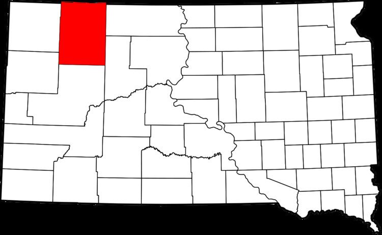
Map of Meadow Township, SD, USA
Meadow was laid out in 1907, and named for a vast meadow near the original town site.
Meadow is located approximately 25 kilometres to the west from what was the farthest point from any McDonald’s restaurant in the contiguous United States in 2009, prior to that point moving 45.45955°N 101.91356°W / 45.45955; -101.91356. Along with Glad Valley, South Dakota, Meadow is one of the nearest communities to that point.