Elevation 287 m | Time zone Central (CST) (UTC-6) Local time Thursday 5:11 PM | |
 | ||
Weather 19°C, Wind S at 34 km/h, 37% Humidity | ||
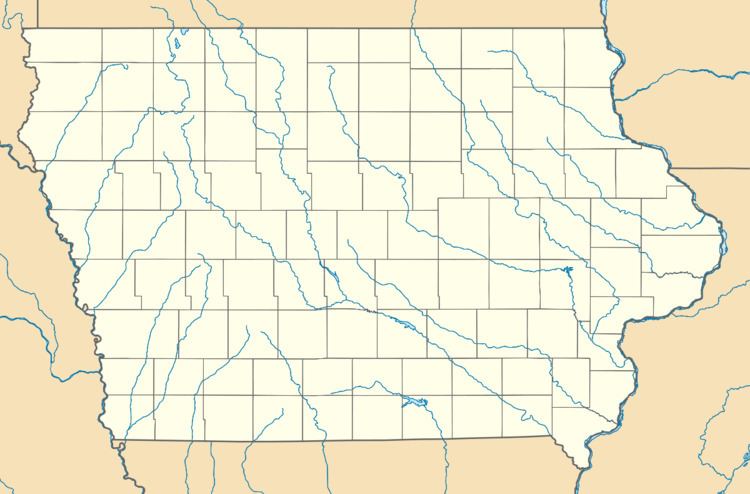
McPaul is a former townsite and unincorporated community in Fremont County, Iowa, United States. It was located at the intersection of County Roads J18 and L31, near the Missouri River. It is three miles west of Thurman, at 40.887295N -95.7950145W.
Contents
Map of McPaul, Scott, IA 51654, USA
History
McPaul was founded as a railroad town. The Kansas City, St. Joseph and Council Bluffs Railroad passed through McPaul in the late 1800s. Much of modern-day Interstate 29 covers the former townsite; only a few scattered houses remain. The McPaul State Wildlife Management Area is located north of the townsite.
References
McPaul, Iowa Wikipedia(Text) CC BY-SA
