
 | ||
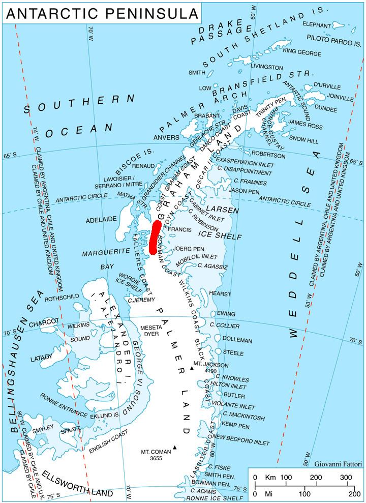
McLeod Hill (68°5′S 66°30′W) is a rounded, ice-covered hill of elevation 1,790 m in the south part of Hemimont Plateau in Graham Land, Antarctica, which forms a prominent landmark 1 mi east of the head of Northeast Glacier. It was first roughly surveyed in 1936 by the British Graham Land Expedition (BGLE), and resurveyed by the U.S. Antarctic Service (USAS), 1939-41. It was resurveyed in 1946 by the Falklands Islands Dependencies Survey (FIDS) and named for Kenneth A. McLeod, Falklands Islands Dependencies Survey (FIDS) meteorological observer who, during July-December 1947, occupied with a member of the Ronne Antarctic Research Expedition (RARE) the plateau meteorological station 1 mi east of this hill.
References
McLeod Hill (Antarctica) Wikipedia(Text) CC BY-SA