
Country United States ZIP codes 58057 Elevation 328 m Zip code 58057 Local time Thursday 4:00 PM | Time zone Central (CST) (UTC-6) FIPS code 38-49540 Area 200 ha Population 27 (2010) | |
 | ||
Weather 4°C, Wind SE at 29 km/h, 73% Humidity | ||
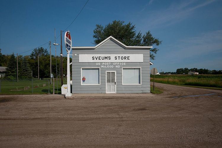
McLeod (also Sandoun) is a census designated place in eastern Ransom County, North Dakota, United States. An unincorporated community, it was designated as part of the U.S. Census Bureau's Participant Statistical Areas Program on March 31, 2010. It was not counted separately during the 2000 Census, but was included in the 2010 Census, where its population was reported to be 27.
Contents
Map of McLeod, ND, USA
The community lies along North Dakota Highway 27 east of the city of Lisbon, the county seat of Ransom County. Originally named Sandoun for the many sand dunes in the area, it was renamed McLeod for local realtor J. J. McLeod. Although it is unincorporated, it has a post office, with the ZIP code of 58057.
Climate
This climatic region is typified by large seasonal temperature differences, with warm to hot (and often humid) summers and cold (sometimes severely cold) winters. According to the Köppen Climate Classification system, McLeod has a humid continental climate, abbreviated "Dfb" on climate maps.