
Quadrant NW Sector Northeast Elevation 685 m | Ward 4 Area 97 ha Population 2,314 (2012) | |
 | ||
McLeod is a residential neighbourhood in north east Edmonton, Alberta, Canada.
Contents
Map of McLeod, Edmonton, AB, Canada
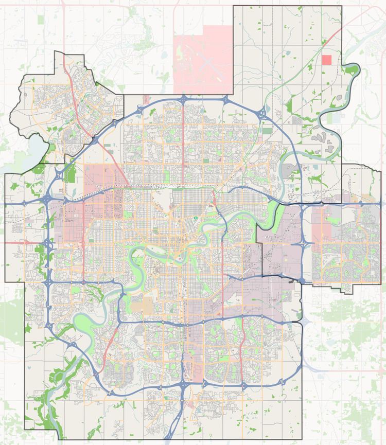
The neighbourhood is bounded on the south by 144 Avenue, on the north by 153 Avenue, on the east by 58 Street and on the west by 66 Street.
Most of the residential development in the neighbourhood, according to the 2001 federal census, were constructed during the 1960s and 1970s. Just over half of all residences (54.9%) were built during the 1960s and one out of every four (26.7%) were constructed during the 1970s. Most of the remaining residences were built during the late 1980s.
According to the 2005 municipal census, 100% of the residences in the neighbourhood are single-family dwellings. Substantially all of the residences (96%) are owner-occupied.
Demographics
In the City of Edmonton's 2012 municipal census, McLeod had a population of 7003231400000000000♠2,314 living in 7002876000000000000♠876 dwellings, a -4.6% change from its 2009 population of 7003242600000000000♠2,426. With a land area of 0.97 km2 (0.37 sq mi), it had a population density of 7003238560000000000♠2,385.6 people/km2 in 2012.
Schools
There are four schools located in the neighbourhood. Two are operated by the Edmonton Public School System and two are operated by the Edmonton Catholic School System.
M.E. Lazerte Composite High School is located just to the west in the adjoining neighbourhood of Kilkenny.