
Time zone CST (UTC-6) Elevation 136 m Zip code 62859 Population 3,830 (2010) | Established November 3, 1885 GNIS feature ID 0429303 Area 93.03 km² Local time Thursday 3:42 PM | |
 | ||
Weather 9°C, Wind S at 14 km/h, 36% Humidity | ||
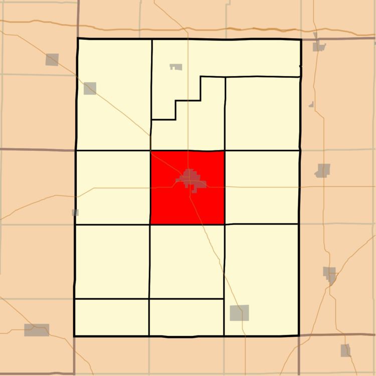
McLeansboro Township is one of twelve townships in Hamilton County, Illinois, USA. As of the 2010 census, its population was 3,830 and it contained 1,907 housing units.
Contents
- Map of McLeansboro Township IL 62859 USA
- Geography
- Cities towns villages
- Unincorporated towns
- Cemeteries
- Airports and landing strips
- School districts
- Political districts
- References
Map of McLeansboro Township, IL 62859, USA
Geography
According to the 2010 census, the township has a total area of 35.92 square miles (93.0 km2), of which 35.6 square miles (92 km2) (or 99.11%) is land and 0.32 square miles (0.83 km2) (or 0.89%) is water.
Cities, towns, villages
Unincorporated towns
(This list is based on USGS data and may include former settlements.)
Cemeteries
The township contains these seven cemeteries: Concord, Crisel, Glenview Memorial Gardens, Hutson, Independent Order of Oddfellows, Presley and Union Hill.
Airports and landing strips
School districts
Political districts
References
McLeansboro Township, Hamilton County, Illinois Wikipedia(Text) CC BY-SA