
- elevation 3,117 ft (950 m) | - elevation 646 ft (197 m) | |
 | ||
- location confluence with Birch Creek, 23 miles (37 km) east of Lake Minchumina | ||
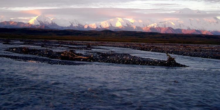
The McKinley River (Lower Tanana: Henteel no' Tl'o) is a 58-mile (93 km) tributary of the Kantishna River in central Alaska in the United States. It drains an area on the north slope of the Alaska Range on the south edge of the Tanana Valley southwest of Fairbanks. The river issues from Muldrow Glacier in the northern Alaska Range in Denali National Park and Preserve, northeast of Denali. It flows through the tundra north of the Alaska Range in a generally northwest direction, joining Birch Creek to form the Kantishna River near Chilchukabena Lake.
Map of McKinley River, Alaska, USA
The river was named McKinley Fork by A.H. Brooks in 1905. Other names or variants include Henteeth No' Tl'o and Hintusno' Dikats.
References
McKinley River Wikipedia(Text) CC BY-SA