
Country United States ZIP code 97530 Elevation 511 m Local time Thursday 11:48 AM | Time zone Pacific (PST) (UTC-8) Area code(s) 458 and 541 Area 404.7 m² | |
 | ||
Weather 11°C, Wind N at 5 km/h, 79% Humidity | ||
McKee Bridge is an unincorporated community in Jackson County, Oregon, United States. It lies south of Ruch along Upper Applegate Road off Oregon Route 238. The Applegate River flows by the community, in the Rogue River – Siskiyou National Forest.
Map of McKee Bridge, OR 97530, USA
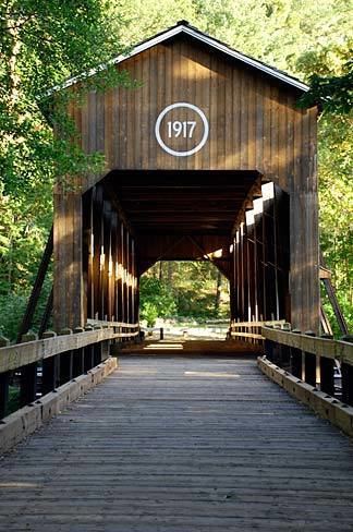
A covered bridge called McKee Bridge crosses the river at this point. McKee Picnic Ground, a national forest site, is at the west end of the bridge along the river.
References
McKee Bridge, Oregon Wikipedia(Text) CC BY-SA