
Quadrant NW Sector Northeast Elevation 691 m | Ward 4 Area 243 ha Population 897 (2012) | |
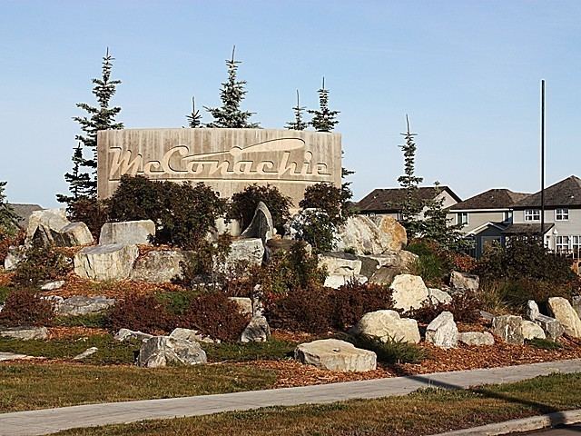 | ||
McConachie is a neighbourhood in northeast Edmonton, Alberta, Canada that was established in 2006 through the adoption of the McConachie Neighbourhood Structure Plan (NSP).
Contents
Map of McConachie Area, Edmonton, AB, Canada
McConachie is located within the Pilot Sound residential planning area and was originally considered Neighbourhood 4 within the Pilot Sound Area Structure Plan (ASP).
It is bounded on the west by 66 Street NW, north by Anthony Henday Drive, east by the future realignment of 50 Street NW, and south by 167 Avenue NW.
Demographics
In the City of Edmonton's 2012 municipal census, McConachie had a population of 7002897000000000000♠897 living in 7002324000000000000♠324 dwellings. With a land area of 2.43 km2 (0.94 sq mi), it had a population density of 7002369100000000000♠369.1 people/km2 in 2012.