Time zone Central (CST) (UTC-6) Elevation 45 m Local time Thursday 6:51 AM | Township Clayton GNIS feature ID 58138 Zip code 71654 Area code 870 | |
 | ||
Weather 4°C, Wind SE at 11 km/h, 55% Humidity | ||
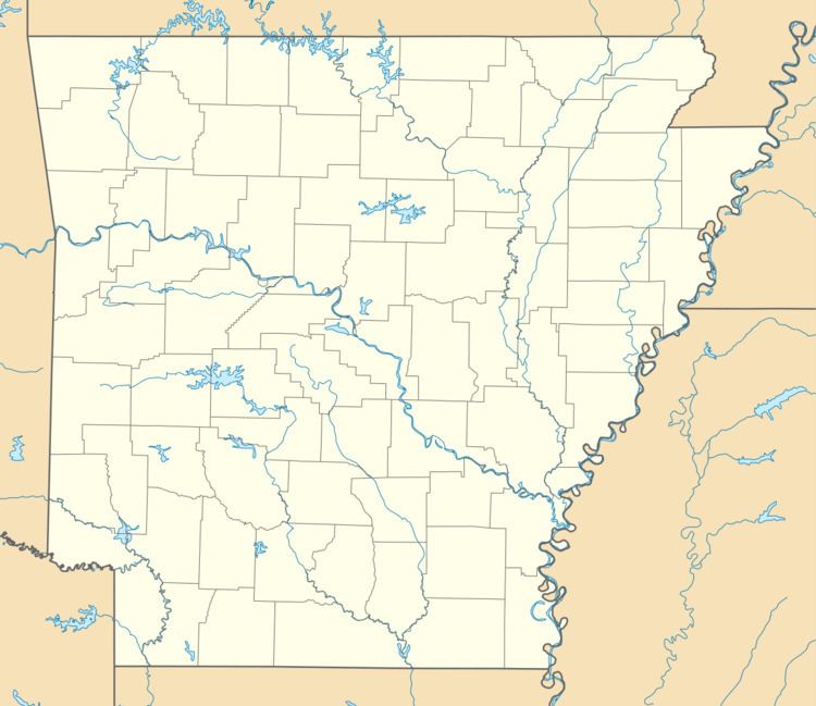
McArthur is an unincorporated community in Clayton Township, Desha County, Arkansas. It is located on Arkansas Highway 1 northeast of McGehee.
Map of McArthur, Clayton Township, AR 71654, USA
McArthur is one of two possible sites of the death of Hernando de Soto. The Natives of the region called the Mississippi River "Tamaliseu", while De Soto christened it "Río del Espíritu Santo". Afraid of revealing to the Native Americans that he was a mortal and not a deity, he opted for a watery burial under the Mississippi.
References
McArthur, Arkansas Wikipedia(Text) CC BY-SA
