
Type Mountain glacier Terminus Talus | Length 1.10 mi (1.77 km) Status Retreating | |
 | ||
Area 1.40 km (0.54 sq mi) in 2006 Similar Cascade Range, Adams Glacier, Bird Creek Meadows, Mount Adams, Goat Rocks | ||
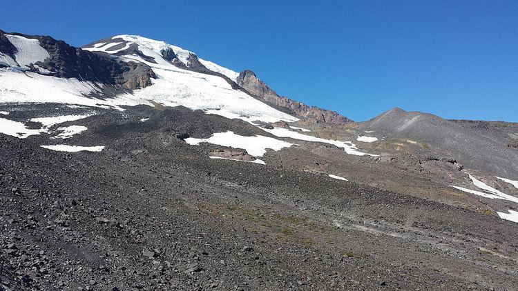
Mazama Glacier is located on the southeast slopes of Mount Adams a stratovolcano in the U.S. state of Washington. Mazama Glacier is in the Yakama Indian Reservation. The glacier descends from approximately 10,800 ft (3,300 m) to a terminus near 7,600 ft (2,300 m). Mazama Glacier has been in a general state of retreat for over 100 years and lost 46 percent of its surface area between 1904 and 2006.
Map of Mazama Glacier, Washington, USA
References
Mazama Glacier (Mount Adams) Wikipedia(Text) CC BY-SA