
Sovereign state United Kingdom Postcode district TR21 Local time Thursday 3:50 AM | Post town ISLES OF SCILLY Dialling code 01720 | |
 | ||
Weather 8°C, Wind S at 11 km/h, 97% Humidity Civil parish | ||
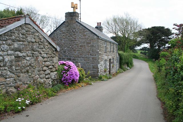
Maypole is a dispersed settlement located on the island of St Mary's, the largest of the Isles of Scilly, England. It is a tourist and farming area, with the only horse riding school in the islands.
Map of Maypole, Isles of Scilly, UK
Nearby are Holy Vale and Pelistry. The A3110 road runs through the area; on this road to the west of Maypole, towards Telegraph, is Silver Carn or High Lanes, a small settlement which includes a large guesthouse and café.
References
Maypole, Isles of Scilly Wikipedia(Text) CC BY-SA