
Irish grid reference N416709 | ||
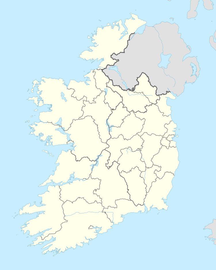 | ||
Mayne (Irish: Maighean), is a civil parish in County Westmeath, Ireland. It is located about 18.03 kilometres (11 mi) north of Mullingar.
Map of Mayne, Co. Westmeath, Ireland
Mayne is one of 8 civil parishes in the barony of Fore in the Province of Leinster. The civil parish covers 7,197 acres (29.13 km2).
Mayne civil parish comprises the village of Coole and 19 townlands: Ballinealoe, Carn, Clonteens, Coole (townland), Coolure Demesne, Derrya, Fearmore, Lickny, Lispopple, Mayne, Monktown, Newtown, Nonsuch, Packenhamhall or Tullynally, Portjack, Shrubbywood, Simonstown, Tullynally or Pakenhamhall, Turbotstown, Williamstown.
The neighbouring civil parishes are: Lickbla to the north, Rathgarve to the east, Faughalstown to the south and Street to the west.
References
Mayne, County Westmeath (civil parish) Wikipedia(Text) CC BY-SA