
Time zone CST (UTC-6) Area 91.06 km² Local time Wednesday 8:38 PM | Established November 20, 1850 Elevation 269 m Population 929 (2010) | |
 | ||
ZIP codes 60111, 60115, 60145, 60146, 60178 Weather -3°C, Wind W at 13 km/h, 55% Humidity | ||
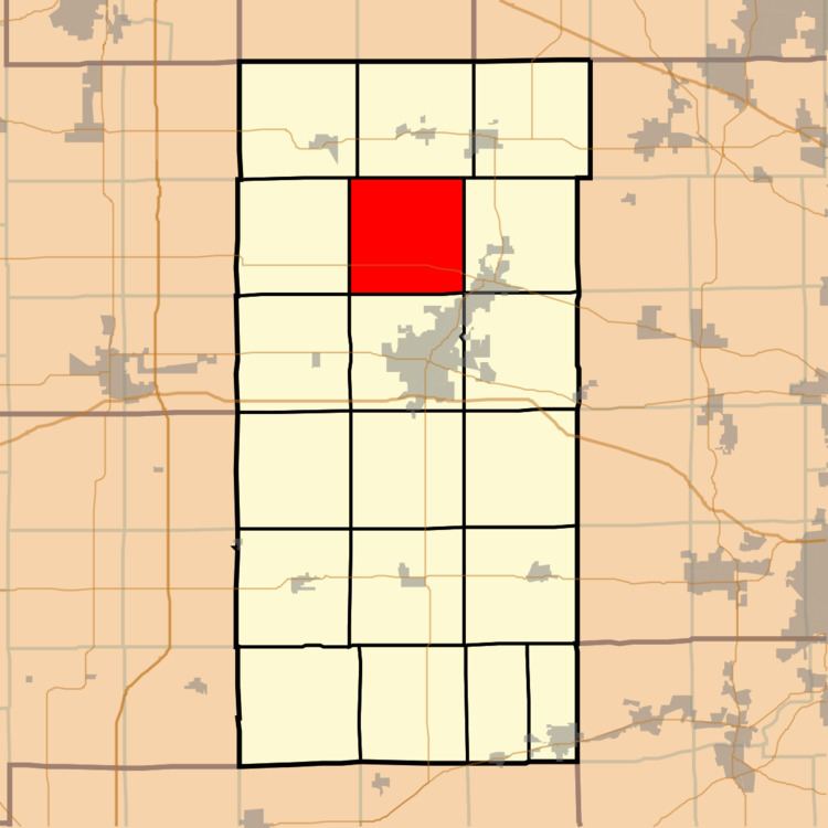
Mayfield Township is one of nineteen townships in DeKalb County, Illinois, USA. As of the 2010 census, its population was 929 and it contained 414 housing units. Mayfield Township was renamed from Liberty Township on November 20, 1850.
Contents
- Map of Mayfield Township IL USA
- Geography
- Unincorporated towns
- Cemeteries
- Airports and landing strips
- School districts
- Political districts
- References
Map of Mayfield Township, IL, USA
Geography
According to the 2010 census, the township has a total area of 35.16 square miles (91.1 km2), of which 34.94 square miles (90.5 km2) (or 99.37%) is land and 0.22 square miles (0.57 km2) (or 0.63%) is water.
Unincorporated towns
(This list is based on USGS data and may include former settlements.)
Cemeteries
The township contains these two cemeteries: Ault Road and Mayfield.
Airports and landing strips
School districts
Political districts
References
Mayfield Township, DeKalb County, Illinois Wikipedia(Text) CC BY-SA