
Maintained by the City of Edmonton North end 111 Avenue Province Alberta | Location Edmonton Length 2 km Major cities Edmonton | |
 | ||
South end Stony Plain Road / 170 Street Major
junctions 170 Street, 107 Avenue, 111 Avenue | ||
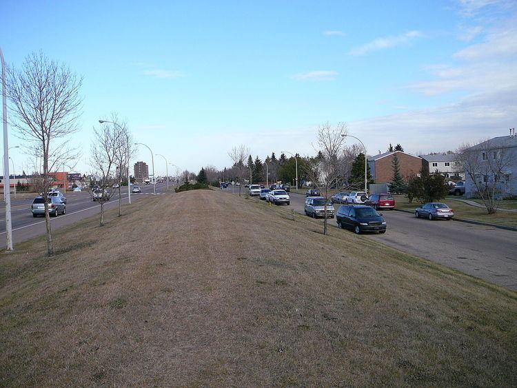
Mayfield Road is an arterial road in west Edmonton, Alberta, Canada.
Contents
Map of Mayfield Rd NW, Edmonton, AB, Canada
It begins as 170 Street north of Stony Plain Road, and travels north-east for about ten blocks before it turns east and continues as 111 Avenue. Mayfield Road bounds the residential neighbourhoods of Britannia Youngstown and Mayfield to the east. To the west it bounds the industrial subdivisions of Youngstown Industrial, Stone Industrial, and West Sheffiend Industrial.
Interchanges and intersections
This is a list of major intersections, starting at the south end of Mayfield Road.
References
Mayfield Road, Edmonton Wikipedia(Text) CC BY-SA