
Quadrant NW Sector Mature area Elevation 675 m | Ward 1 Area 87 ha Population 1,968 (2012) | |
 | ||
Mayfield is a neighbourhood in west Edmonton, Alberta, Canada named for famed Canadian aviator and bush pilot Wop May.
Contents
- Map of Mayfield Edmonton AB Canada
- Demographics
- Residential development
- Recreation and parks
- Schools
- Surrounding neighbourhoods
- References
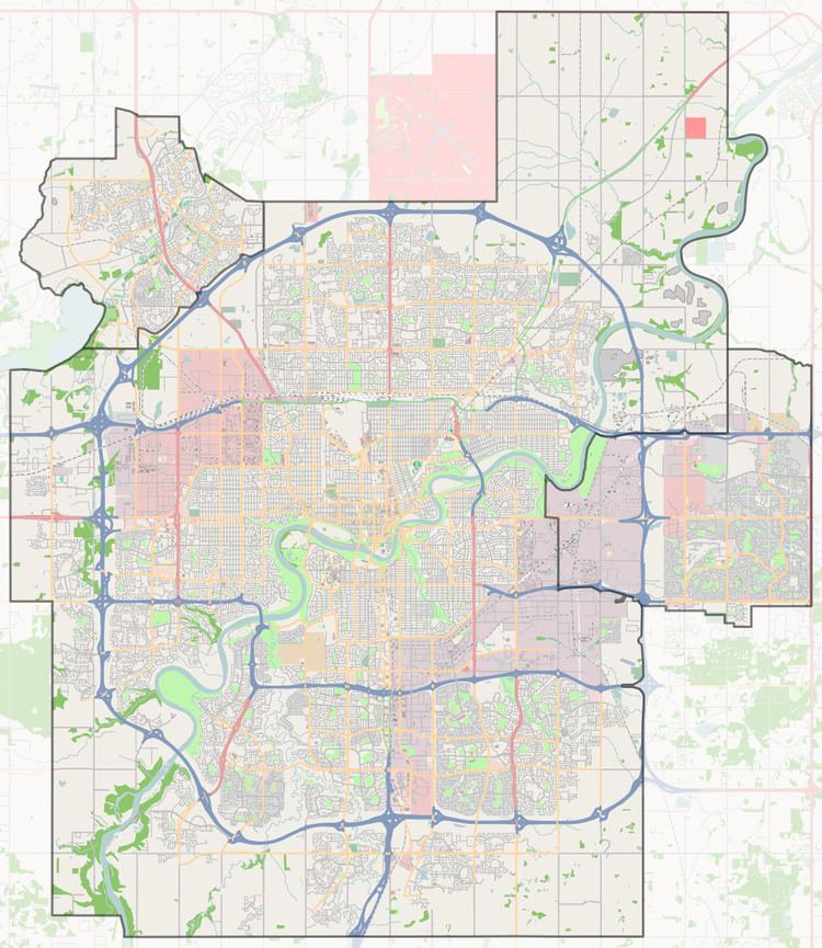
Map of Mayfield, Edmonton, AB, Canada
It is bordered on the north by 111 Avenue, the east by 156 Street, to the south by 107 Avenue, and on the west by Mayfield Road.
Demographics
In the City of Edmonton's 2012 municipal census, Mayfield had a population of 7003196800000000000♠1,968 living in 7002910000000000000♠910 dwellings, a 1.4% change from its 2009 population of 7003194100000000000♠1,941. With a land area of 0.87 km2 (0.34 sq mi), it had a population density of 7003226210000000000♠2,262.1 people/km2 in 2012.
Residential development
While there were some homes in the area prior to 1946, the bulk of residential construction occurred after the end of World War II with seven out of ten (71%) residences being built between 1946 and 1960. Most of the remaining three in ten were built during the 1960s, with a small number built during the 1970s. Most dwellings in the neighbourhood are single-family dwellings, though there are some duplexes, row houses and a few low rise apartment buildings.
Roughly three out of four households have two or more people.
Recreation and parks
There are a number of parks in the neighbourhood: Mayfield Park, Otto Leslie Park, Patrick J. Ryan Park, and Phoebe Mccullough Park
Schools
There are two schools in the neighbourhood. The Edmonton Public School System operates the Mayfield Elementary School, while the Edmonton Catholic School System operates Our Lady Of Peace Catholic Elementary School.
Surrounding neighbourhoods
The neighbourhood is surrounded by a mixture of residential neighbourhoods and light industrial areas. Residential neighbourhoods are High Park to the east, Canora to the south east, and Britannia Youngstown to the south. Industrial subdivisions are Youngstown Industrial to the west, West Sheffiend Industrial to the west and north west, Sheffield Industrial to the north, and High Park Industrial to the north east.