
Quadrant SW Established 1957 Elevation 1,080 m Population 473 (2006) Local time Wednesday 7:28 PM | Ward 11 Annexed 1965 Area 70 ha Mayor Naheed Nenshi | |
 | ||
Weather 3°C, Wind N at 14 km/h, 62% Humidity | ||
Mayfair is a small residential neighbourhood in the south-west quadrant of Calgary, Alberta. It is bounded to the north by the community of Bel-Aire, to the east by Elbow Drive, to the south by Glenmore Trail and to the west by the Glenmore Reservoir.
Contents
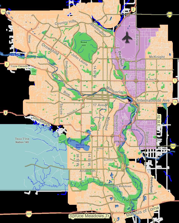
Map of Mayfair, Calgary, AB, Canada
The land was annexed to the City of Calgary in 1956, and Mayfair was established one year later, in 1957. It is represented in the Calgary City Council by the Ward 11 councillor.
Demographics
In the City of Calgary's 2012 municipal census, Mayfair had a population of 7002481000000000000♠481 living in 7002156000000000000♠156 dwellings, a 2.3% increase from its 2011 population of 7002470000000000000♠470. With a land area of 0.3 km2 (0.12 sq mi), it had a population density of 1,600/km2 (4,200/sq mi) in 2012.
Residents in this community had a median household income of $116,131 in 2000, and there were 8.5% low income residents living in the neighbourhood. As of 2000, 15.2% of the residents were immigrants. All buildings were single-family detached homes, and none of the housing was used for renting.
Education
The community is served by the Christopher Robin private school and the new C. Robin High (2006).