
Time zone CST (UTC-6) Elevation 111 m Population 486 (2010) | Established November 3, 1885 ZIP codes 62817, 62829, 62859 Area 141.8 km² Local time Wednesday 8:01 PM | |
 | ||
Weather 0°C, Wind NW at 5 km/h, 47% Humidity | ||
Mayberry Township is one of twelve townships in Hamilton County, Illinois, USA. As of the 2010 census, its population was 486 and it contained 248 housing units.
Contents
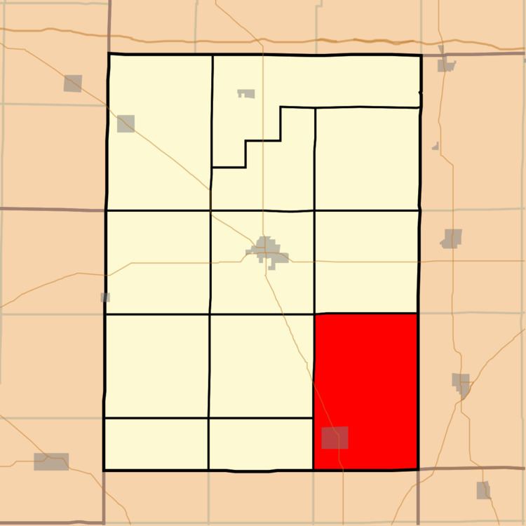
- Map of Mayberry Township IL USA
- Geography
- Cities towns villages
- Unincorporated towns
- Extinct towns
- Cemeteries
- School districts
- Political districts
- References
Map of Mayberry Township, IL, USA
Geography
According to the 2010 census, the township has a total area of 54.75 square miles (141.8 km2), of which 54.6 square miles (141 km2) (or 99.73%) is land and 0.15 square miles (0.39 km2) (or 0.27%) is water.
Cities, towns, villages
Unincorporated towns
(This list is based on USGS data and may include former settlements.)
Extinct towns
(These towns are listed as "historical" by the USGS.)
Cemeteries
The township contains these ten cemeteries: Albion, Big Hill, Clark, Cook, Gholson, Keasler, Lantham, Morris, New Prospect and Wolfe.
School districts
Political districts
References
Mayberry Township, Hamilton County, Illinois Wikipedia(Text) CC BY-SA