Population 110 (2006 census) Postcode(s) 6614 Founded 1913 Local time Thursday 8:15 AM | Established 1913 Elevation 343 m Postal code 6614 | |
 | ||
Weather 17°C, Wind E at 21 km/h, 51% Humidity | ||
Maya is a small town in the Mid West region of Western Australia.
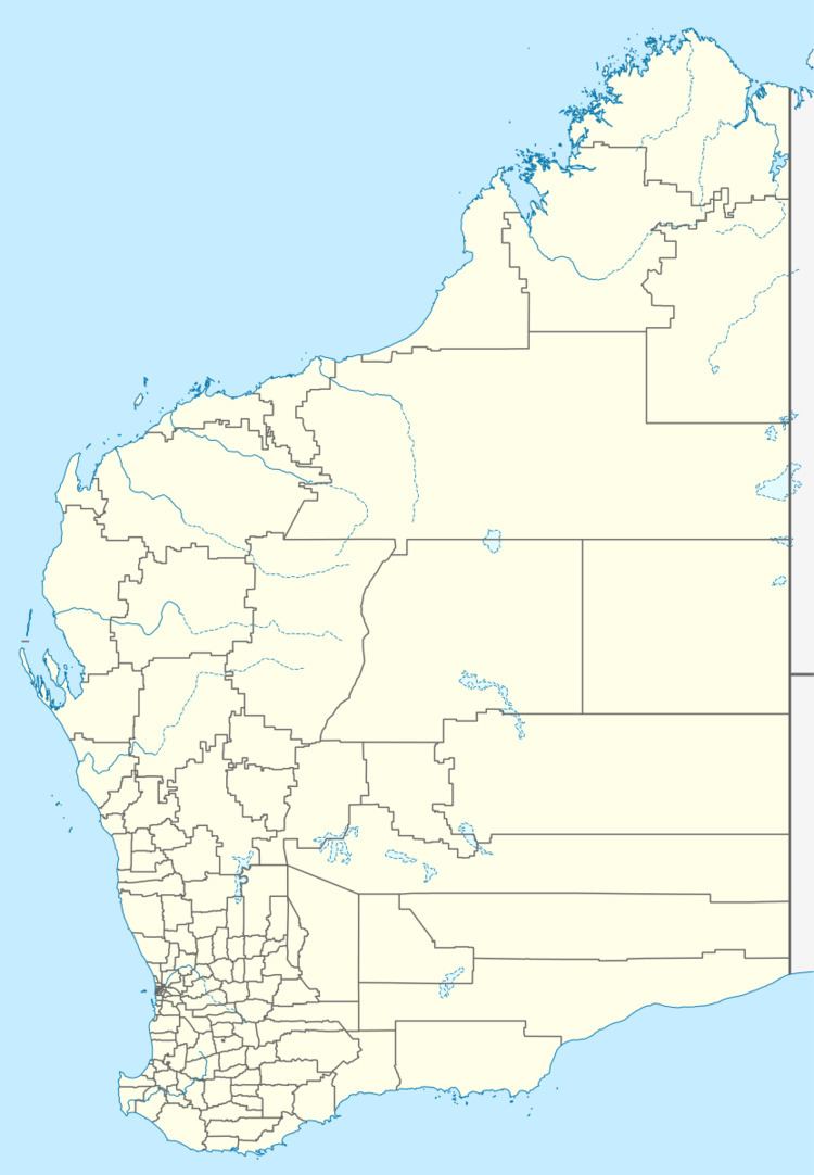
Map of Maya WA 6614, Australia
The town's name is a result of the shortening of the Indigenous Australian word for a nearby spring, Pocanmaya. The name was first recorded by surveyors in 1876.
The town originated as a railway siding on the Mullewa to Wongan Hills that was planned in 1913. The townsite was gazetted in 1913 and the railway commenced operation in 1915.
In 1932 the Wheat Pool of Western Australia announced that the town would have two grain elevators, each fitted with an engine, installed at the railway siding.
The surrounding areas produce wheat and other cereal crops. The town is a receival site for Cooperative Bulk Handling.
References
Maya, Western Australia Wikipedia(Text) CC BY-SA
