
Time zone CST (UTC-6) Elevation 185 m Local time Wednesday 6:44 PM | Established November 7, 1865 ZIP codes 62510, 62567, 62568 Area 94.3 km² Population 1,581 (2010) | |
 | ||
Weather -1°C, Wind NE at 5 km/h, 45% Humidity | ||
May Township is one of seventeen townships in Christian County, Illinois, USA. As of the 2010 census, its population was 1,581 and it contained 668 housing units.
Contents
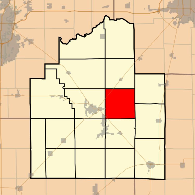
- Map of May Township IL USA
- History
- Geography
- Cities towns villages
- Unincorporated towns
- Cemeteries
- Major highways
- Airports and landing strips
- School districts
- Political districts
- References
Map of May Township, IL, USA
History
May Township was established November 7, 1865, as Smith Township, but was later changed to Howard, then Penn, and finally to May. References as to when the name changes happened have been lost. It was named in honor of Colonel Charles May, of the artillery arm of the service in the Mexican-American War.
Geography
According to the 2010 census, the township has a total area of 36.41 square miles (94.3 km2), of which 36.34 square miles (94.1 km2) (or 99.81%) is land and 0.07 square miles (0.18 km2) (or 0.19%) is water.
The highest point in May Township is located approximately 20 feet south of the centerline of County Road 1600 North, at roughly 1816 East (.16 miles East of 1800 North Road, a/k/a Christian County Highway #7).
Cities, towns, villages
Unincorporated towns
Cemeteries
The township contains these four cemeteries: Fraley, Harris Number 2, Long and Tanner.