
Country United States County Itasca Time zone Central (CST) (UTC-6) Elevation 418 m | State Minnesota ZIP code 56659 Local time Wednesday 3:26 PM | |
 | ||
Weather 1°C, Wind S at 11 km/h, 30% Humidity | ||
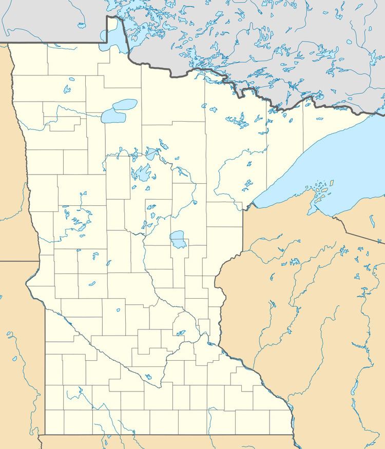
Max is an unincorporated community in Max Township, Itasca County, Minnesota, United States; located within the Chippewa National Forest and the Leech Lake Indian Reservation.
Map of Max, MN 56659, USA
The community is located southeast of Squaw Lake at the junction of Itasca County Roads 4 and 34. State Highway 46 (MN 46) is nearby.
Max has a post office with ZIP code 56659.
Nearby places include Squaw Lake, Spring Lake, Inger, and Alvwood.
Max is located 3.5 miles southeast of Squaw Lake. Max is also located 25 miles northwest of Deer River.
References
Max, Minnesota Wikipedia(Text) CC BY-SA