
Population (August 2007 census) 1,231 Elevation 0–380 m (0–1,247 ft) Local time Wednesday 5:26 AM | INSEE/Postal code 98728 /98732 Area 14 km² | |
 | ||
Weather 28°C, Wind E at 13 km/h, 82% Humidity Points of interest Terei'a Beach, Te'urafa'atiu, Mt. Teurafaatiu Summit | ||
Maupiti is a commune of French Polynesia, an overseas territory of France in the Pacific Ocean. The commune is in the administrative subdivision of the Leeward Islands.
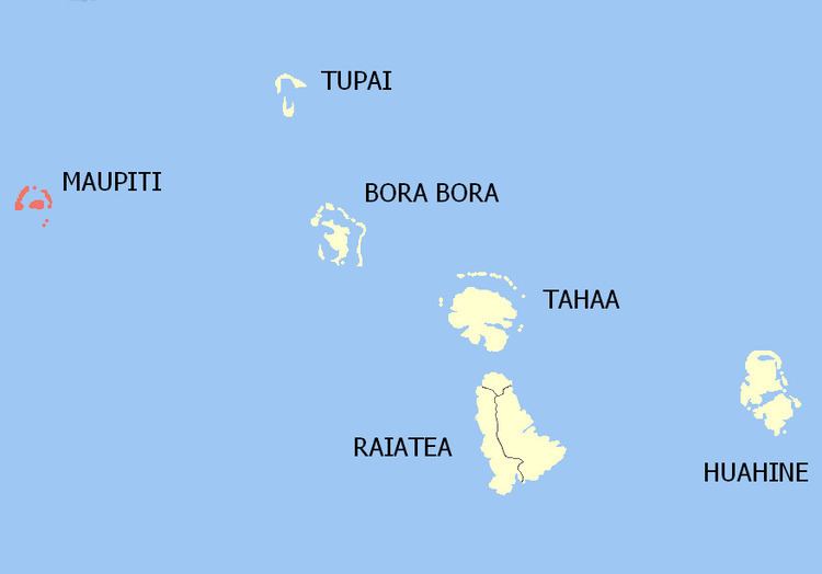
Map of Maupiti, French Polynesia
The commune of Maupiti is made up of the island of Maupiti proper with its surrounding islets emerging from the coral reef, with an area of 13.5 km² (5.2 sq mi) in total, and of three distant atolls:
Almost all the inhabitants live on Maupiti island itself. The atolls of Maupihaa and Manuae have about 15 inhabitants each, while Motu One is not inhabited anymore.
The administrative centre of the commune is the settlement of Vaiea, on the island of Maupiti.
References
Maupiti (commune) Wikipedia(Text) CC BY-SA